by Greg Cooper, LandTrust intern summer 2015
August 6, 2015

Resilience has become a hot topic in recent years within the conservation community. At its core, ecological resilience is defined as the ability of an ecosystem to respond to disturbance by resisting damage and recovering quickly. These disturbances can be anything from large scale climate events such as hurricanes or drought to more localized occurrences such as fire or deforestation. Our natural landscape has already faced tremendous change through development pressures from our rapidly growing cities and resource exploitation resulting in a degraded and fragmented series of natural areas between human population centers.
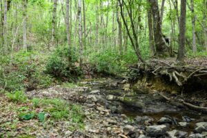
As a conservation organization, The LandTrust for Central North Carolina is challenged with preserving land that maintains regional ecological resilience. The most resilient lands are those that are connected to other ecologically intact tracts so that various species can move across the land freely. Landscapes that have a diversity of features such as steep terrain, rivers or open fields are considered especially resilient because of the diverse habitat that provides for a higher biodiversity. Combining both landscape connectivity and diverse terrain features creates a land area that serves as an oasis to large numbers of species that can move across the area after disturbance thus creating a resilient landscape. By targeting lands that contain the most diversity in landscape features and are continuous with other protected lands, The LandTrust can create a large regional impact for the protection of a wide variety of species.

Today, conservation organizations focus on protecting lands that add onto existing protected areas such as national parks and forests or along corridors such as riverbanks or mountain chains. This practice creates a landscape that looks like a network of lines and nodes that allows species to move from one node to the other along the lines or inhabit large nodes that allow for a large amount of room to live in. The lands protected are those that contain diverse habitats that can support the deep woods loving wood thrush as well as the vernal pool dependent four-toed salamander. The continuity created allows for the movement of game species such as deer, bear and waterfowl across large stretches of land without being caught in the urban interface. Through targeting of highly rated landscapes, conservation organizations can get the biggest bang for their buck by protecting habitat suitable for many species.
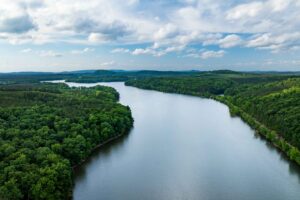
My work this summer has been to use data provided by The Nature Conservancy and the Open Space Institute that rates the resiliency of all the land in the southeast using connectivity and habitat diversity as key variables. I looked at the areas where The LandTrust has focused its work over the past 20 years especially in the Uwharries. Using this data, I evaluated the resilience of ongoing projects within the Uwharrie River corridor and along the historic Uwharrie Trail that would augment the region’s resilience. This information will help The LandTrust to better evaluate lands for conservation such that they will greatly add to the ecological integrity of the region. Focusing on these higher priority conservation areas will allow humans and wildlife to coexist while minimizing the tragic loss of species through habitat degradation and fragmentation.
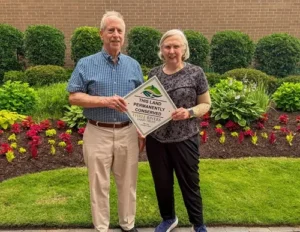
For more information about the conservation strategies of The LandTrust for Central North Carolina, contact Crystal Cockman at crystal@landtrustcnc.org.