by Crystal Cockman

This access is located at 300 Dennis Road, Troy NC. The access officially opened on June 30th of last year. The parking area and fishing access were funded through fishing license receipts and Sport Fish Restoration Program Funds. The land was acquired by private donation and a Clean Water Management Trust Fund grant written and administered by The LandTrust, along with State Wildlife Grant funding from the U.S. Fish and Wildlife Service.
This was the first time I’ve used this access point since it was formally transferred and developed. The ramp into the water is the same as it was, with the addition of a couple of large rocks on either side, but there is now a parking area with space for 20 cars, and a 12×20 foot fishing pier on Dutchmans Creek.
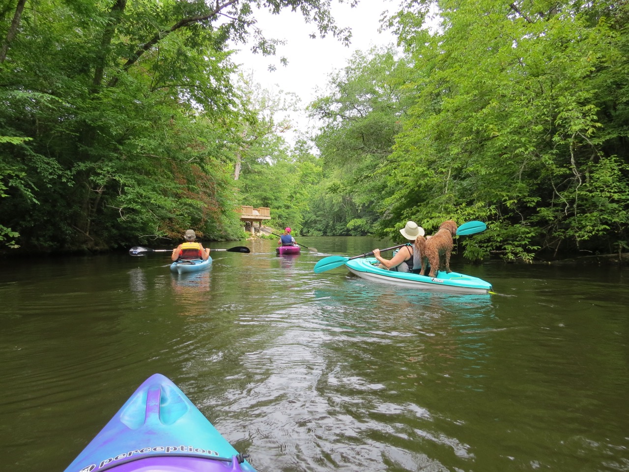
The Uwharrie River seems to have gotten low and stayed low most of the summer this year, but you can easily paddle upstream from this access point for quite a ways. Our trip was about 2 hours long total paddling up and back, but we did get out and play on the rocks for a while at the northernmost point of our paddle.
By paddling here, we avoided coming into conflict with the heavy use by motorboats of the main channel of Lake Tillery. Their wake can leave a powerful current to a kayak. A jet ski came up a ways into the Uwharrie River from the lake, but he turned around when he got to where we were, thankfully.
We were considering paddling down to Hidden Lake to explore, but decided we’d save that for a weekday visit when there would be fewer motorboats to encounter. It’s about a 30-minute paddle from this access point to the mouth of the Uwharrie River, and you could leave a car at Morrow Mountain State Park and paddle across Tillery and make it a one-way trip. It’s a pretty long drive though from Dennis Road to the boat ramp at the park.
When there is plenty of water in the river, it’s a nice stretch to paddle downstream from Highway 109 to this access point off Dennis Road. That’s about 7 miles and usually takes about 3 hours or less. There are some rapids along the way but nothing too strenuous. You also go by a neat rock formation known locally as Elephant’s toenails, as well as a Native American fish weir.
The LandTrust worked with another landowner who donated a conservation easement where Cedar Creek hits the Uwharrie River, so an additional portion of that stretch of river is now protected. A lot of that section is also Uwharrie National Forest land. Last year, the Blair family donated another tract that almost touches the river in this stretch, as well.
Over the last 23 years, The LandTrust has worked to establish over 4,000 acres of publicly accessible land in our ten-county region, from community parks to historical sites to game lands. Needless to say, it was particularly special to be able to utilize this new Uwharrie River access point I helped work to establish. Conservation work usually takes a number of years to accomplish even one project, and it takes a variety of partners to make it possible, but it is especially worth the effort when you can take advantage of it personally, and the public in general can use it, too. I’m thankful for the opportunity to work on these projects, and to see the fruits of the labor firsthand.