Trailhead: Thayer Road, 35.507617, -79.952957. From NC 109, turn on Ophir Road. Then turn right on Flint...
Hike to the summit of King Mountain, the tallest point in the Uwharrie National Forest
Primary Route: From the Joe Moffitt Trailhead, hike to the summit of King Mountain
Hiking Distance: < 4 miles round-trip
Elevation Gain: Unknown; summit elevation 1,120 feet
Difficulty: Moderate
Trailhead: Thayer Road, 35.507617, -79.952957. From NC 109, turn on Ophir Road. Then turn right on Flint Hill Road. Left on Thayer Road. At the fork, keep right to stay on Thayer Road (gravel). The trailhead is located on your right before the Randolph County line. There is an old gate off of the road with a newer gate behind it. A large plaque dedicating the trailhead to Joe Moffitt is located between the old and new gates.
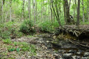
Hiking Directions: From the Joe Moffitt Trailhead, head north and cross Thayer Road (gravel) to find the Uwharrie Trail. Be sure to follow the trail with the white blazes and not to get sidetracked on old forest roads. Follow the trail up the mountain until after climbing you reach 1,120 feet of elevation at the summit. When you first reach the forested top there will be a small clearing to your right for a break. Return to your car using the same route.
Additional Information: The King Mountain property was purchased by LTCNC in 2007 with half transferred to the US Forest Service and half to the NC Wildlife Resource Commission, but the trail from the Joe Moffitt Trailhead to Pisgah Covered Bridge Road was just completed as part of a LTCNC Uwharrie Trail workday in May 2014.