From Troy, NC: Take Hwy. 109 North to the community of Uwharrie and turn right onto...
GPS: 35.6029145,-79.921707
See the Forest Service map to locate trailheads.
From Troy, NC: Take Hwy. 109 North to the community of Uwharrie and turn right onto Ophir Road (SR 1134). Ophir Road becomes Burney Mill Road as you cross into Randolph County. Continue on to the intersection of Lassiter Mill Road and turn right. Proceed north on Lassiter Mill to either of the trailhead locations as depicted on the FS map above.
From Asheboro, NC: Take Hwy. 49 South approximately 6 miles. Turn right onto Science Hill Road. About a fourth of a mile further, at the “T” intersection, turn left (south) onto Lassiter Mill Road. Continue on to the two trailhead locations as depicted on the FS map above.
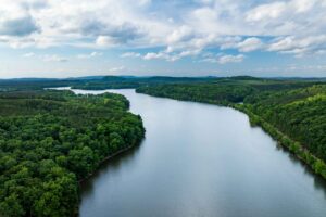
The Birkhead Mountains Wilderness Area is open year round for day hiking and backpacking, and has no fees or reservations. Dogs are allowed on a leash, and backcountry camping is allowed. Hunting is also allowed in this area, and it is advised to wear blaze orange during hunting seasons.
Visit the park website here for more information.
—–
Hike: Thornburg Trail & Camp Three Trail (10 miles)
Hike: Tot Hill Loop (11.25 miles)